General
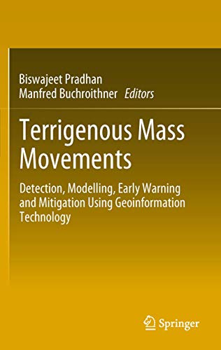
TERRIGENOUS MASS MOVEMENTS: DETECTION, MODELLING, EARLY WARNING AND MITIGATION USING GEOINFORMATION TECHNOLOGY
ISBN : 9783642254949
Title of the books is TERRIGENOUS MASS MOVEMENTS: DETECTION, MODELLING, EARLY WARNING AND MITIGATION USING GEOINFORMATION TECHNOLOGY . Author Name :PRADHAN. Excellent book for the General Books, GENERAL. Published by SPRINGER. Terrestrial mass movements (i.e. cliff collapses, soil creeps, mudflows, landslides etc.) are severe forms of natural disasters mostly occurring in mountainous terrain, which is subjected to specific geological, geomorphological and climatological conditions, as well as to human activities. It is a challenging task to accurately define the position, type and activity of mass movements for the purpose of creating inventory records and potential vulnerability maps. Remote sensing techniques, in combination with Geographic Information System tools, allow state-of-the-art investigation of the degree of potential mass movements and modeling surface processes for hazard and risk mapping. Similarly, through statistical prediction models, future mass-movement-prone areas can be identified and damages can to a certain extent be minimized.

Add to Cart
Buy Now
Delivery Charges Applicable

- Satisfaction 100% Guaranteed
- Shipping Charges Applicable
- Latest Editions
Title of the books is TERRIGENOUS MASS MOVEMENTS: DETECTION, MODELLING, EARLY WARNING AND MITIGATION USING GEOINFORMATION TECHNOLOGY . Author Name :PRADHAN. Excellent book for the General Books, GENERAL. Published by SPRINGER. Terrestrial mass movements (i.e. cliff collapses, soil creeps, mudflows, landslides etc.) are severe forms of natural disasters mostly occurring in mountainous terrain, which is subjected to specific geological, geomorphological and climatological conditions, as well as to human activities. It is a challenging task to accurately define the position, type and activity of mass movements for the purpose of creating inventory records and potential vulnerability maps. Remote sensing techniques, in combination with Geographic Information System tools, allow state-of-the-art investigation of the degree of potential mass movements and modeling surface processes for hazard and risk mapping. Similarly, through statistical prediction models, future mass-movement-prone areas can be identified and damages can to a certain extent be minimized.
Specifications
| Author | PRADHAN |
| Edition | LATEST |
| Year | 2012 |
| Publisher | SPRINGER NATURE GROUP |
| Binding | HARDBACK |
Product Reviews
There are no reviews yet.


Write Review